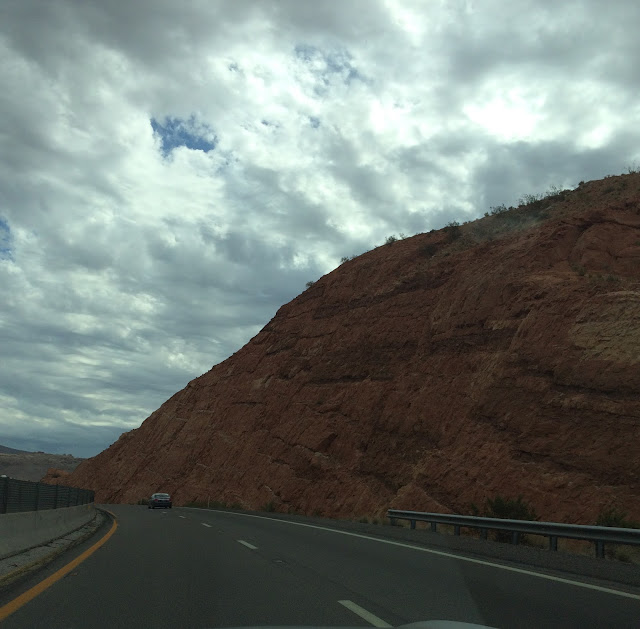
I drove through canyons with all different shades of red rocks and my first stop was at McDonald's in Mesquite, NV.
I headed east at Hurricane, UT and quickly ascended to around 5,000 feet and I was headed for darker skies. Around 1045 it started raining, so my morning and early afternoon was spent crisscrossing the Utah and Arizona border and avoiding flash floods. When Blue Oyster Cult's Burnin' for You shuffled on in Glen Canyon, I played it twice.
I arrived at Page, AZ around 1130 and there was a light rain. I wanted to stop at Horseshoe Bend because it looked cool. Horseshoe Bend is a sharp curve in in the canyons carved by the Colorado River. When I arrived I saw everyone wearing raincoats and ponchos, which was a good idea, so I turned around and zipped back to the Walmart I had just passed hoping there'd be a cheap poncho.
I could have just gotten a little bit wet but there was a hike to the viewing area and I was carrying my oxygen concentrator and needed to keep that dry. I really didn't want to have to hike a red sandy hill in the rain at 5,200 feet, but I was here and I was going to try, so I headed to Walmart to get my gear.
At Walmart, I pick up a cheap pair of slip-on shoes because all I had was flip flops and I did not want red feet, and then I searched and searched for ponchos and they were sold out, obviously everyone had the same idea. Luckily, I passed through the hunting aisle and saw a camo poncho for $8.99.
Back at the Horseshoe Bend parking lot I slipped on my shoes and opened up the poncho. For a second, I thought I had bought a tent because the poncho seemed so massive, then I ripped the hood when I put it on because I'm such a brute. It was only about 68 degrees, but I was already sweating.
I took the climb slowly, stopping frequently, because I was out of breath the whole time. I eventually made it and turned around to take a photo. I was very hot and sweaty under the poncho.
Getting to the top I realized there was another hike down to the edge where you could see the river and get better photos. I could see the meander of the river through the canyon, so that was enough for me. I was slightly disappointed, but the hike back up looked like about double what I just did, and the idea of collapsing and dying in a giant camo poncho with a selfie stick bulging in my pocket seemed exceedingly undignified.
 |
| Horseshoe Bend (if you want a better look go to Google images - this isn't a photo tour) |
Around 3 p.m. when I stopped in Kayenta, I noticed that the sky to the south looked ominous. I was considering a 45 mile detour through Monument Valley. It looked like the end of the world was approaching so I decided to keep moving because the road through Monument Valley was unpaved and I didn't was to end up in red quicksand. I would try to stay ahead of the storm instead.
From 3 to 4 p.m. I raced along the edge of the storm as lightning exploded and sizzled all around me. There was flashes of light from every angle like the kickoff at the Super Bowl. I set up my phone and took a time lapse video before the weather got too bad.
I navigated through the desert storm towards the northeast corner of Arizona. Around 5 p.m. I arrived at the Four Corners Monument. I was nearly blown away by the wind when I got out of the car. When it was my turn to stand on the four corners I extended my selfie stick and stood there like a winner snapping away. As I walked away through the small crowd I realized my selfie stick had malfunctioned and I didn't have a photo. All I got there was this photo:
On the way towards Shiprock in Navajo Nation, I wonder what nickname the tribe would give me if they were so inclined. Since I brought the storm and endured it all day it seemed rather obvious. Everyone agreed that I should be called Stormbearer.
INDEX
Start: Las Vegas, NV
End: Albuquerque, NM
Miles: 699.5
Time on road: 11:59
States: 5, Nevada, Arizona, Utah, Colorado, New Mexico
Highest elevation: 7300 feet
Songs I played twice:
Blue Oyster Cult - Burnin' for You
Lord Huron - Meet Me in the Woods


No comments:
Post a Comment